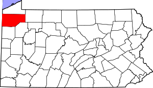
Mapping data from USGS GNIS
CRAWFORD COUNTRY CEMETERIES
There may be duplicate entries for cemeteries, and some cemeteries may overlap township lines.
Cemeteries with Names Beginning with M through O
|
Cemetery Name & Transcription Link
|
Map
|
Photos
|
USGS ID
|
Latitude
DEC |
Longitude
DEC |
USGS TOPO Map
|
Township/Borough
|
| Manning-Miller Cemetery | Map | 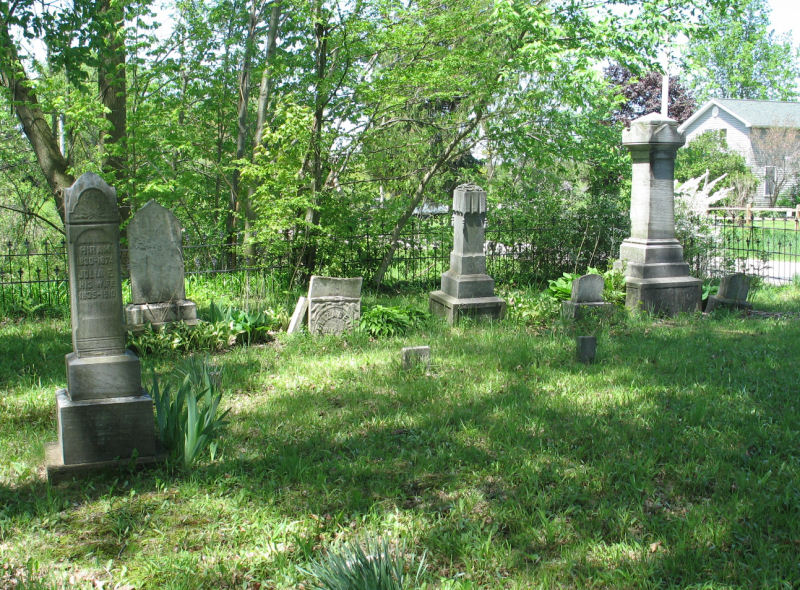 |
1180281 | 41.7124476 | -80.4665568 | Linesville | Conneaut Twp. |
| Maple Hill Cemetery Transcription |
Map | 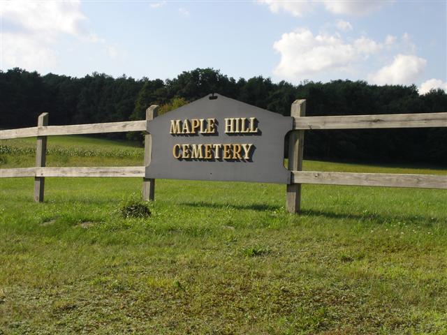 |
2798528 | 41.6245798 | -79.8642163 | Dempseytown | Troy Twp. |
| Martin Cemetery A small family burial site, this cemetery is on private property so please ask for permission before entering - as it is in the middle of the plowed field, you will need guidance to get to the burials. This cemetery was built on the former Clarence Wagner and Howard Martin farm. |
Map | 41.5658471 | -80.4623753 | South Shenango Twp. | |||
| McArthur Cemetery aka (Wilson Cemetery) Transcription |
Map | 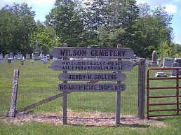 |
1191520 | 41.5938758 | -80.4913381 | Hartstown | South Shenango Twp. |
| McClure Cemetery-Chestnut Corners | Summit Twp. | ||||||
| McComas Family Cemetery | Troy Center | ||||||
| McDowell Cemetery | Map | 1180697 | 41.7196268 | -80.3477748 | Harmonsburg | Summerhill Township | |
| McKay Cemetery | Summerhill Twp. | ||||||
| McKuhn Farm Cemetery | Map | 2798530 | 41.7653879 | -79.7100568 | Spartansburg | Rome Twp. | |
| McLaughlin Cemetery This cemetery is located on Fink Road in Rome Township. |
Map | 2801509 | 41.7273020 | -79.7079587 | Titusville North | Rome Twp. | |
| McMaster Cemetery Transcription |
West Fallowfield Twp. | ||||||
| McMichael Cemetery A-C D E-G H-L M N-R S T-Z |
Map | 1180780 | 41.5348696 | -80.3393520 | Conneaut Lake | East Fallowfield Twp. | |
| McMichael Cemetery | Map | 1180781 | 41.5771555 | -80.2692073 | Conneaut Lake | Greenwood Twp. | |
| McMullen Cemetery | Conneaut Twp. | ||||||
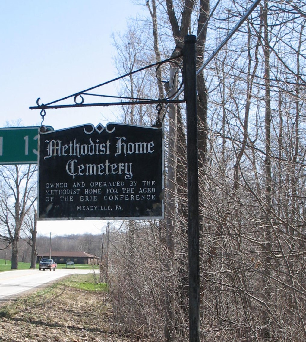
| Methodist Home Cemetery aka (Cribbs Cemetery) The bridge and roadway into this cemetery no longer exists. Park along the road by the cemetery sign. You will need to walk back, carefully go down a steep hill, go into and cross over the creek (careful, this creek has been known to rise to dangerous levels and crossing may not always be possible), then climb up the steep hill on the other side. Once on the other side you will be able to see the original narrow pathway that goes further up the hill to the cemetery. The pathway is filled with downed trees of all sizes, so you will need to carefully go over and around them. Once up at the top of the hill, you will see a wide circle of nothing. The tombstones are all flat and have sunk into the ground even more. They are at the back of the cemetery. |
 |
41.7492700 | -80.3526700 | Summerhill Twp. | |||
| Miller Farm Cemetery Watson's Run Road and Middle Road Transcription |
Vernon Twp. | ||||||
| Miller Station Cemetery Transcription |
Map | 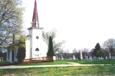 |
2800023 | 41.8118585 | -79.9891552 | Millers Station | Rockdale Twp. |
| Mitchell Cemetery Transcription |
Maa | 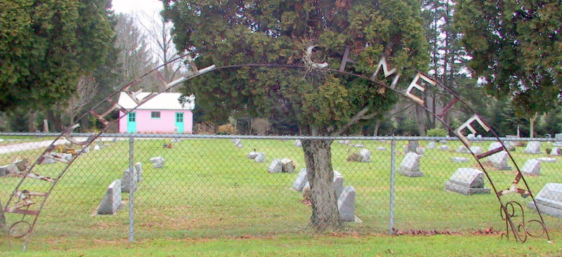 |
1181367 | 41.8372038 | -80.0530736 | Cambridge Springs | Cambridge Twp. |
| Morris Farm Cemetery This cemetery is located on a farm just north of Mosiertown in a pasture surrounded by a pipe fence. The cemetery can be seen from the main road (North Moisertown Road, which goes to Crossingville) when going down the hill just north of Moisertown. (This information was from the index of Crawford County cemeteries done by Eugene F. Throop.) |
Cussweago Twp. | ||||||
| Mount Blair Cemetery Transcription |
Map | 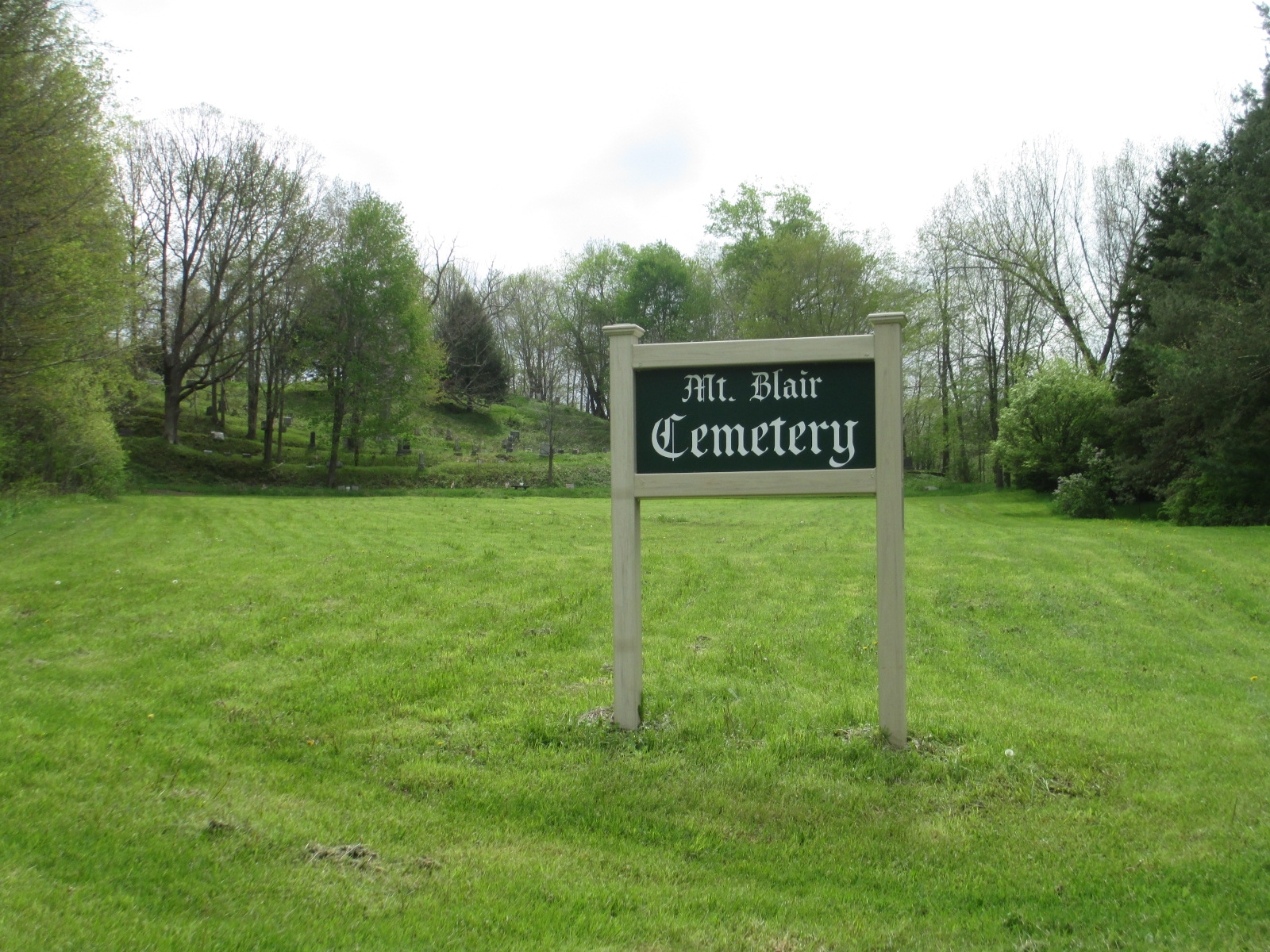 |
1181645 | 41.7007212 | -80.1108211 | Blooming Valley | Woodcock Twp. |
| Mount Hope Cemetery Cemetery is not marked with a sign but sits directly behind the Mt. Hope United Methodist Church on State Highway 27 in the village of Mt Hope, outside of Guys Mills, Pa in Randolph Township. Transcription |
Map | 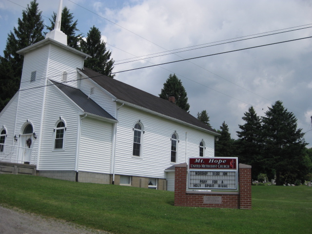 |
2800515 | 41.5960154 | -79.9626355 | Sugar Lake | Randolph Twp. |
| Mount Pleasant Cemetery Transcription |
Map | 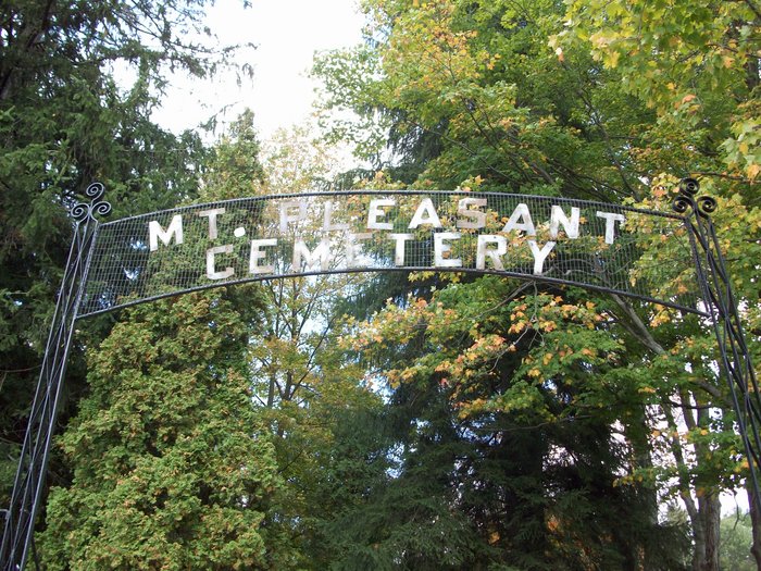 |
1181806 | 41.8345407 | -79.7932553 | Lake Canadohta | Bloomfield Twp. |
| Mt. Pleasant Cemetery | Map | 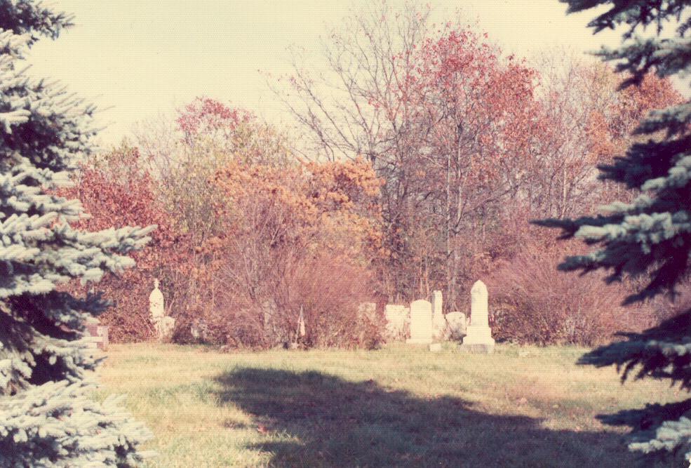 |
2798714 | 41.5837206 | -80.1694149 | Geneva | Union Twp. |
| Mumford Chapel Cemetery A-F G-L M N-P Q-S T-Z |
Map | 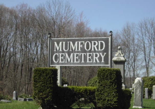 |
2799550 | 41.5251002 | -80.1325344 | Geneva | Fairfield Twp. |
| Mushrush Cemetery | Map | 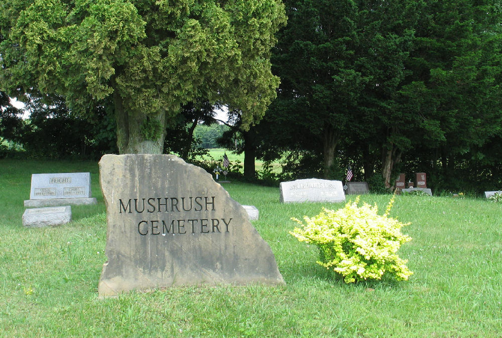 |
1182113 | 41.5652766 | -80.3356136 | Conneaut Lake | East Fallowfield Twp. |
| New Richmond Cemetery Trancription |
Map | 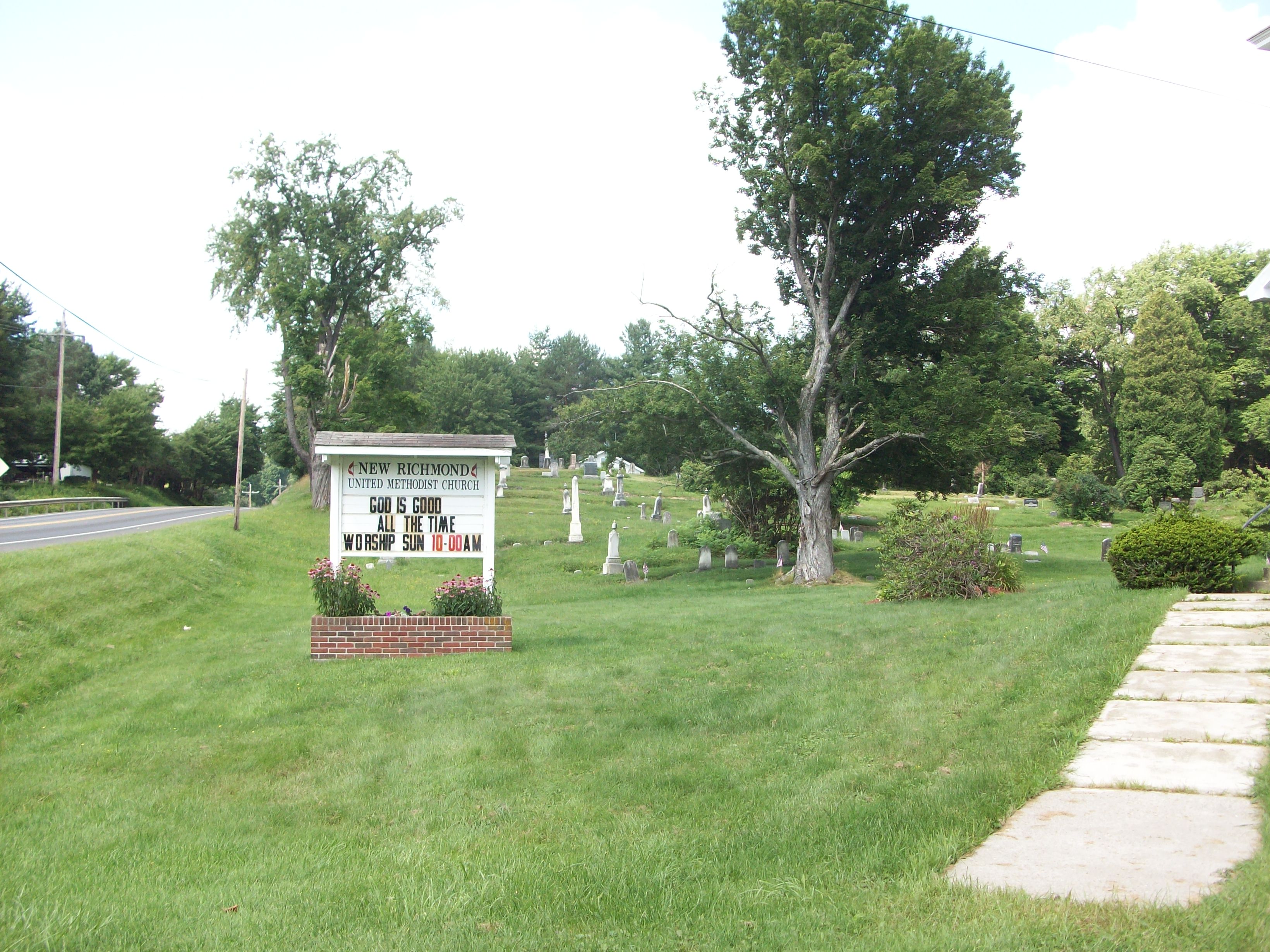 |
2799551 | 41.7208742 | -79.9534344 | Townville | Richmond Twp. |
| Newtontown Cemetery | Map | 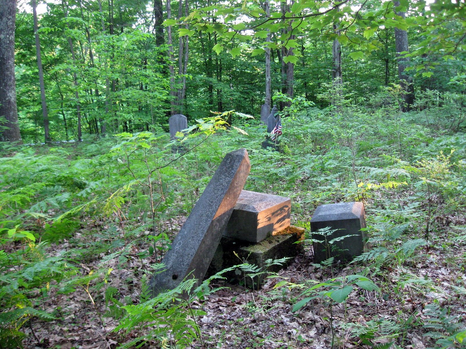 |
2799397 | 41.6698564 | -79.7582593 | Centerville | Hydetown |
| North Richmond Cemetery Transcription |
Map | 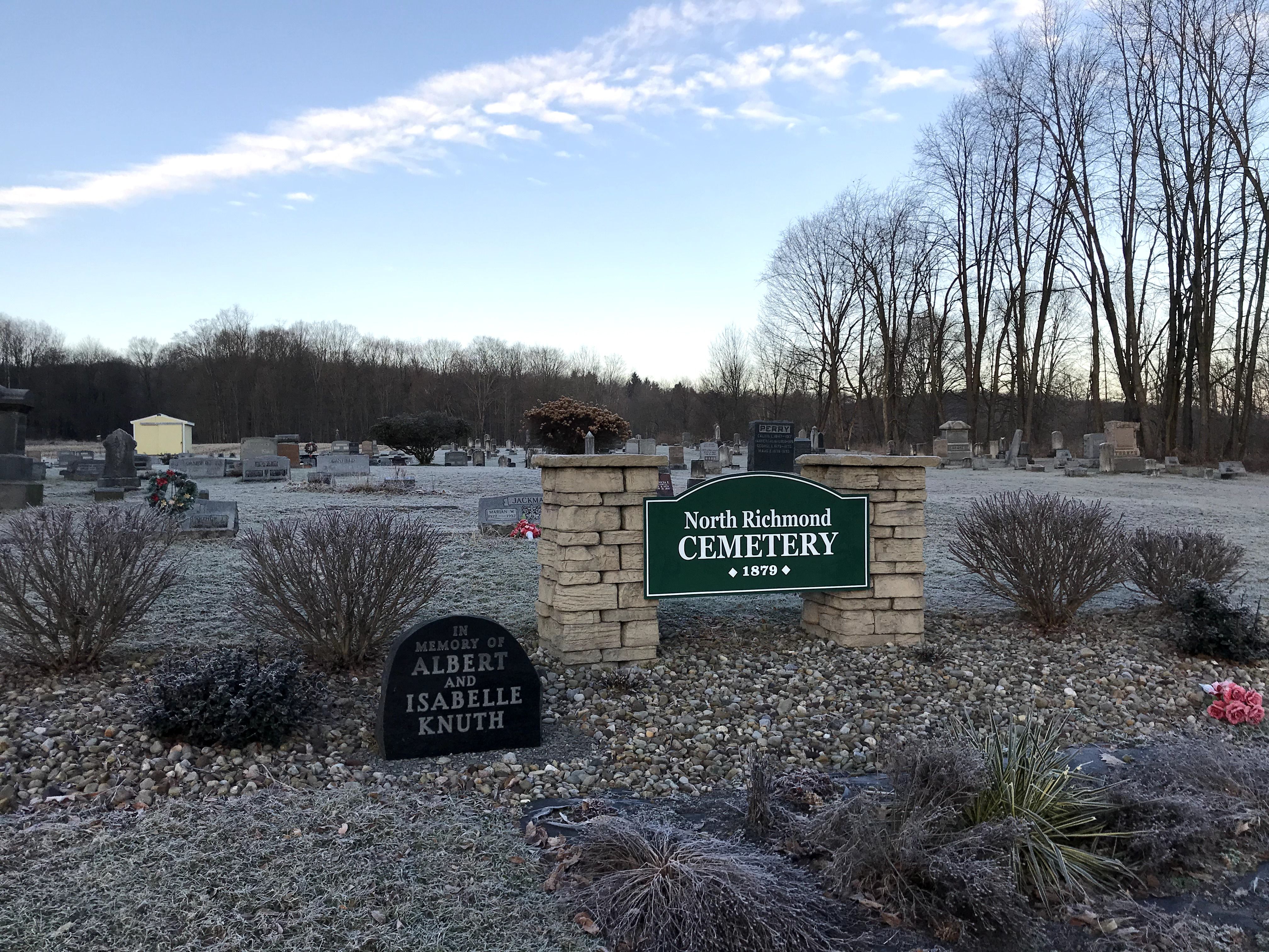 |
2798981 | 41.7456087 | -79.9971966 | Townville | Richmond Twp. |
| Oak Hill Cemetery | Summit Twp. | ||||||
| Oakwood Cemetery aka (Wayland Cemetery) Transcription |
Map | 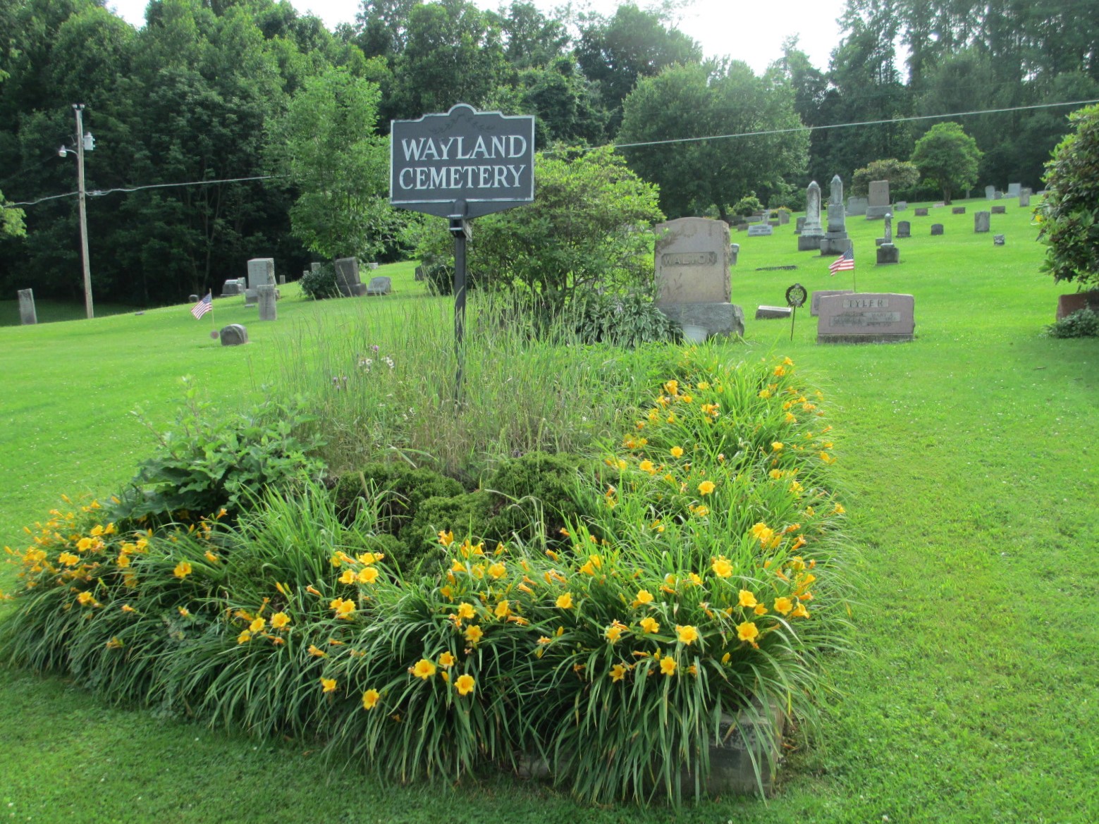 |
2798594 | 41.6261362 | -80.0687145 | Blooming Valley | East Mead Twp. |
| Old Episcopal Church Cemetery | 41.6781592 | -79.8793472 | Townville | ||||
| Old Geneva CemeteryOld Geneva Cemetery is an old, abandoned cemetery near Geneva PA. It is believed by some that the tombstones were removed to build a sidewalk, but were later brought back and thrown into a pile. This cemetery should not be confused with Geneva Memorial Cemetery, a newer, different cemetery at Geneva PA. | 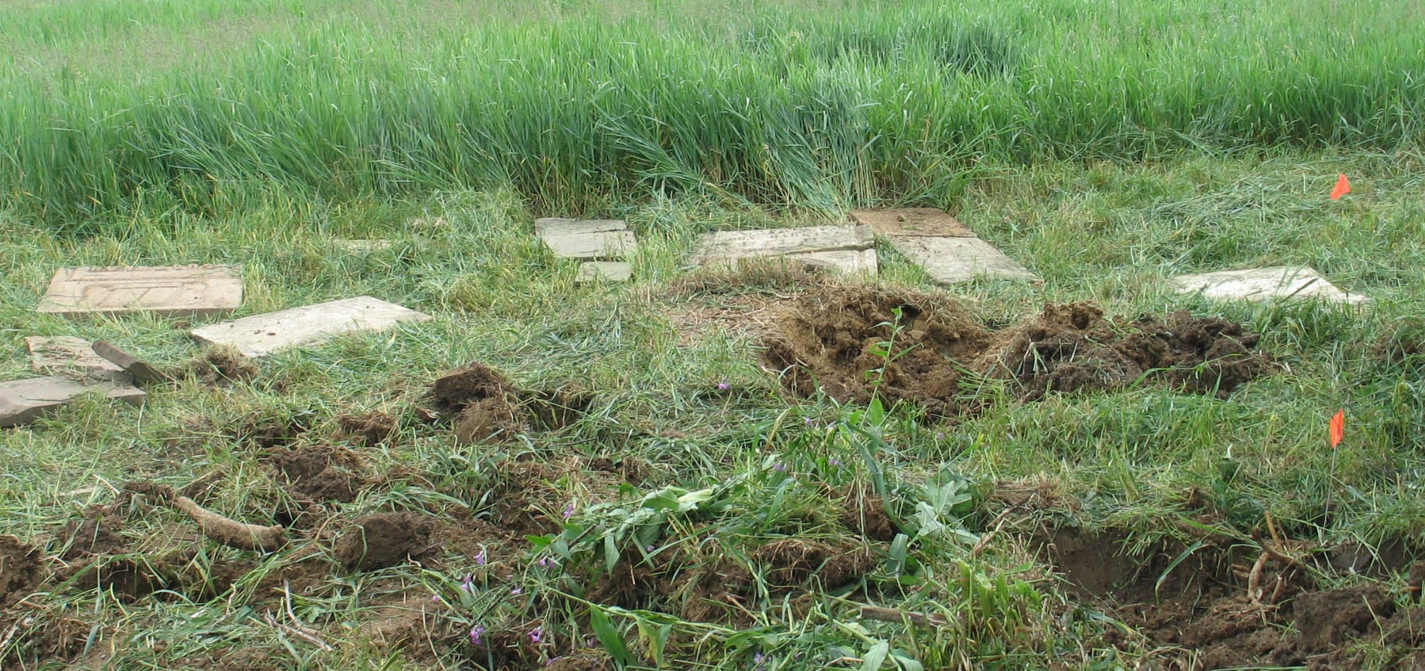 |
41.5594500 | -80.2225500 | Geneva | |||
| Old Reformed Church Cemetery aka (Saint Johns Cemetery) An abandoned cemetery in the village of Deckards on Stockton Corners Road" |
Map | 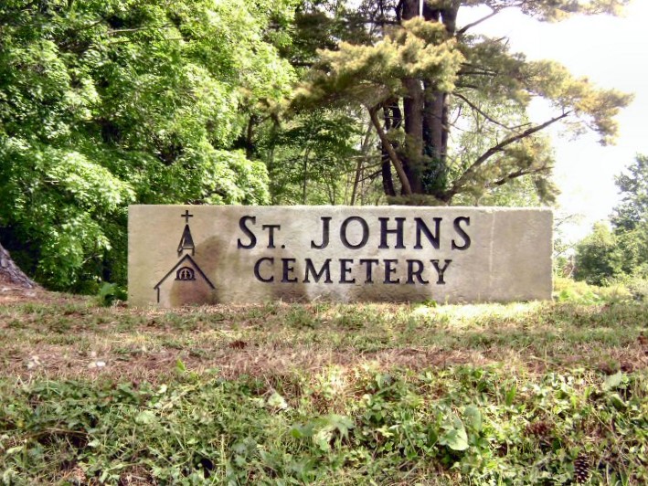 |
2801322 | 41.5230326 | -79.9758877 | Sugar Lake | Wayne Twp. |
| Old Settlers Cemetery | 41.5872020 | -80.0457000 | Meadville | ||||
| Our Lady Queen of the Americas Cemetery | Map | 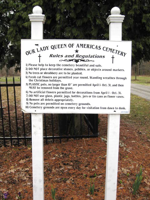 |
2800253 | 41.6016268 | -80.3143275 | Conneaut Lake | Sadbury Twp. |
.gif)
